


|
|
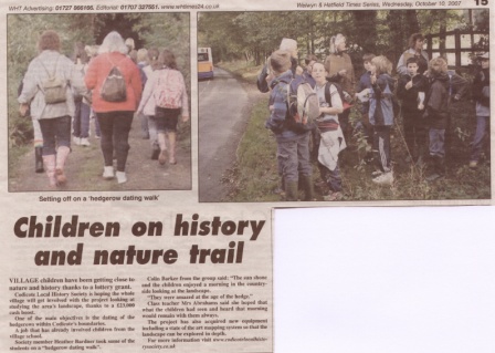
Project Background & Aims The whole community of Codicote was given a wonderful opportunity to investigate and present the history of its landscape through a substantial 3-year grant from the Local Heritage Initiative, a partnership between the Heritage Lottery Fund, Nationwide Building Society and the Countryside Agency. Codicote Local History Society oversaw the project with the support of Codicote Environmental Partnership / Parish Environmental Action Plan, using the knowledge, skills and enthusiasm of members of these groups to the full. The parish of Codicote, the village and the worked landscape around it, has existed for over 2,000 years. The Ice Age created the basic landform. While little remains above ground of Bronze Age hut and burial mounds or Iron Age settlements, a prehistoric, and later Roman, road runs along the parish boundary. Elsewhere this road still retains its Saxon ditch. The churchyard and parts of the church are Norman, while a number of hamlets are mediaeval; many hedges still record the shape of the mediaeval open fields and strips. The form of the village reflects its heyday as a market town; many houses date to the early 17th century. Industry and agricultural change in the 18th and 19th centuries left their mark on the landscape and the 20th century revival of the village has radically altered its shape. All these features have impacted local flora and fauna, and these in turn have played their part in Codicotes history. Research Project Outcomes This project demonstrated that history, and particularly landscape history, is not a minority interest. It is a subject with great relevance to our community and our world - today and tomorrow.
|
|
|
|
||

|
|
|
|
||||||||||||||||||
|
|
||||||||||||||||||||

| Site Map |