

|
|
Floodgates
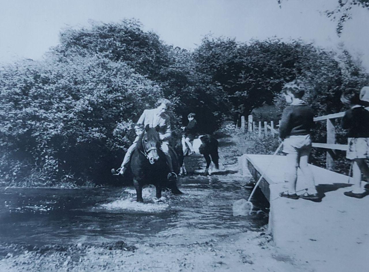
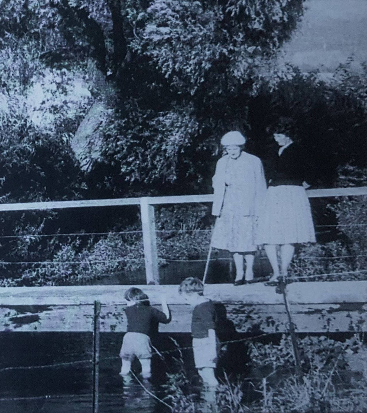
The clothes give a clue to the year of these pictures – the early 1960s.
The track leading off St. Albans Road down to the Mimram is Dark Lane. Previously it was called Ayot Mill Lane, because it led, roughly, to the water corn mill of Ayot St. Lawrence. This was just downstream of the track, opposite Lord Mead Lane; broken bricks can still be seen in the soil. The area where Dark Lane fords the Mimram is known as ‘Floodgates’. Historically, the Mimram was controlled by ‘hatches’ that could divert the water flow to flood the nearby meadows. In 1926 Codicote mains water began being pumped from here. Before then, water came from local wells. Snippets from Codicote's Past Snippets from Hertfordshire's Past Codicote Archaeological Digs Family History Publications Features Landscape History Project Membership & Contact Details |
|
|
|
||
|
|
|
|
||||||||||||||||||
|
|
||||||||||||||||||||

| Site Map |

